Tooltip
These resources have been reviewed and selected by STEM Learning’s team of education specialists for factual accuracy and relevance to teaching STEM subjects in UK schools.
Mapping the Sea *suitable for home teaching*
This film, from Twig World, looks at how the oceans can be mapped. Charting the waters around the Scottish island of Orkney was a pivotal moment in maritime mapping. But a reliance on outdated maps places modern ships in danger. The key points made in the film are: •Before mapping of the sea floor began, hazards hidden beneath the waves were responsible for destroying hundreds of ships and killing many sailors. •In 1743, Murdoch Mackenzie mapped the ocean floor around the island of Orkney and invented new mapping symbols. •Today, sound waves can be used to accurately measure the depth of water. •Mapping the seabed is important for uncovering hazards, which ultimately saves lives.
Show health and safety information
Please be aware that resources have been published on the website in the form that they were originally supplied. This means that procedures reflect general practice and standards applicable at the time resources were produced and cannot be assumed to be acceptable today. Website users are fully responsible for ensuring that any activity, including practical work, which they carry out is in accordance with current regulations related to health and safety and that an appropriate risk assessment has been carried out.
Downloads
-
Illustrated map 317.14 KB
-
Pacific Ocean 115.96 KB
-
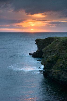
Rugged landscape 25.07 KB
-
Satellite image 48.96 KB
-
Tourist map 212.57 KB
-
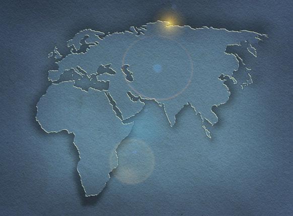
World map 46.98 KB
Show downloads
-

-
 Illustrated map 317.14 KB
 -
Pacific Ocean 115.96 KB
-
Rugged landscape 25.07 KB
-
Satellite image 48.96 KB
-
Tourist map 212.57 KB
-
World map 46.98 KB
Download all files as a .zip753.75 KB
Information on the permitted use of this resource is covered by the Category Three Content section in STEM Learning’s Terms and conditions.


